")
")

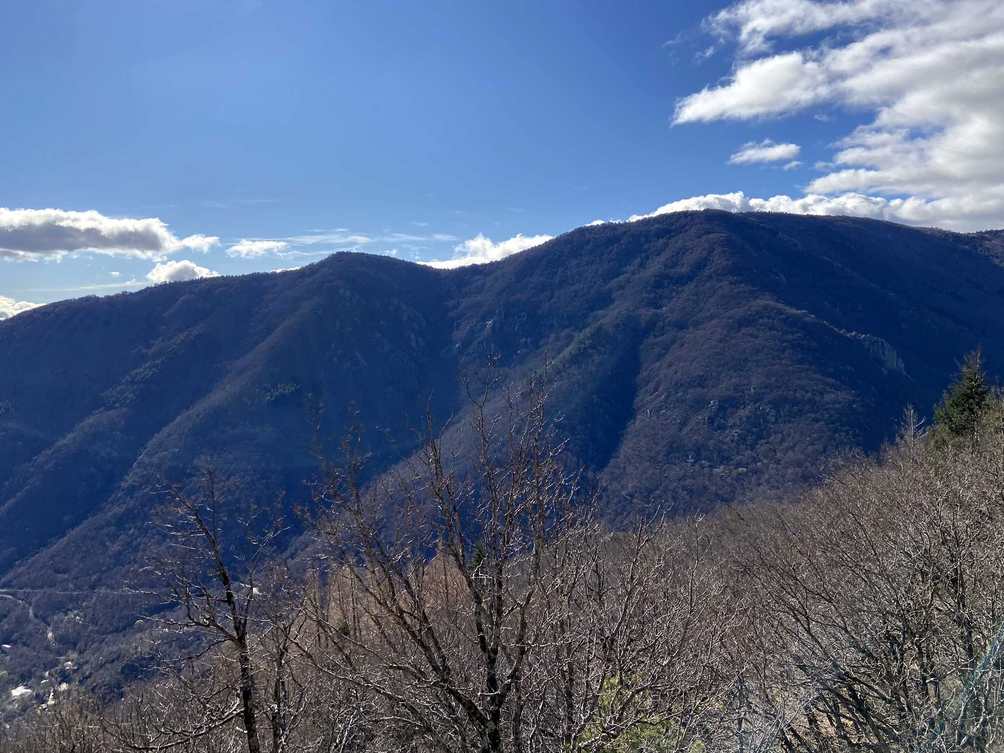
Located in the commune of Bréau-et-Salagosse, west of Le Vigan and not far from the Col de la Sablière, La Maison des Cévennes is a central starting point for numerous hiking trails. In the heart of the Aigoual state forest in the Cévennes, you’ll find the perfect trail for a short walk, a visit to the Puéchagut Arboretum (established in 1890), or a multi-day trek.
Arboretum: a specialized botanical garden, usually designed as a landscaped area, showcasing many species of trees or woody plants in themed collections. The Puéchagut Arboretum is located on the southern slope of the Lingas mountain (Aigoual massif), in the commune of Bréau-et-Salagosse. It was developed from the 1870s by Georges Fabre and Charles Flahault.
Le GR®7
From the Vosges to Saône-et-Loire
The GR® 7 begins at the Ballon d’Alsace, a peak in the Vosges mountain range located at the junction of the Grand Est and Bourgogne-Franche-Comté regions. In the heart of the Ballons des Vosges Regional Nature Park, the landscapes here are filled with dense forests and panoramic summits.
The trail then continues toward the village of Remiremont and its charming Saint-Pierre Abbey Church, before passing through the spa region of Épinal, Vittel, and Bourbonne-les-Bains. At this point, the hiker leaves the Vosges for a brief foray into the Haute-Marne department.
The route then reaches Dijon and the Hautes-Côtes de Beaune, nestled between plains and vineyards — a stunning showcase of Burgundy in all its splendor.
On the Occitanie Trail
The section of the GR® 7 between Mâcon and Castelnaudary, known as the “Massif Central crossing via the Parks,” takes you across a succession of highlands between the Auvergne-Rhône-Alpes and Occitanie regions, passing through:
9 departments: Rhône, Loire, Ardèche, Haute-Loire, Lozère, Gard, Hérault, Tarn, Aude
3 regional nature parks: Pilat, Monts d’Ardèche, and Haut-Languedoc
and the Cévennes National Park
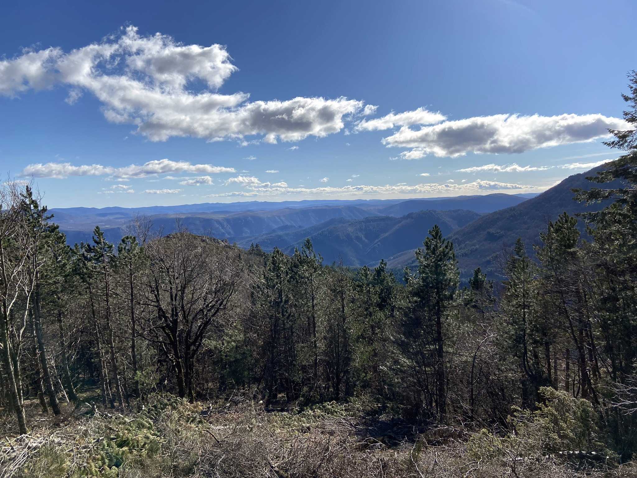
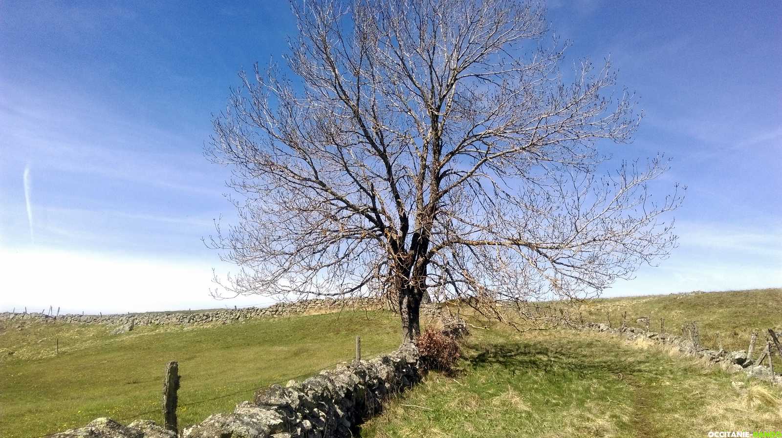
From north to south, the landscapes are grand and often little-known: the Pilat massif, the volcanic Mézenc massif (1,753 m), Mont Gerbier-de-Jonc, Mont Lozère, Mont Aigoual, the Cirque de Navacelles, the Montagne Noire, the Caroux plateau, the Tarn bridge… and finally, the Canal du Midi as the highlight of the journey.
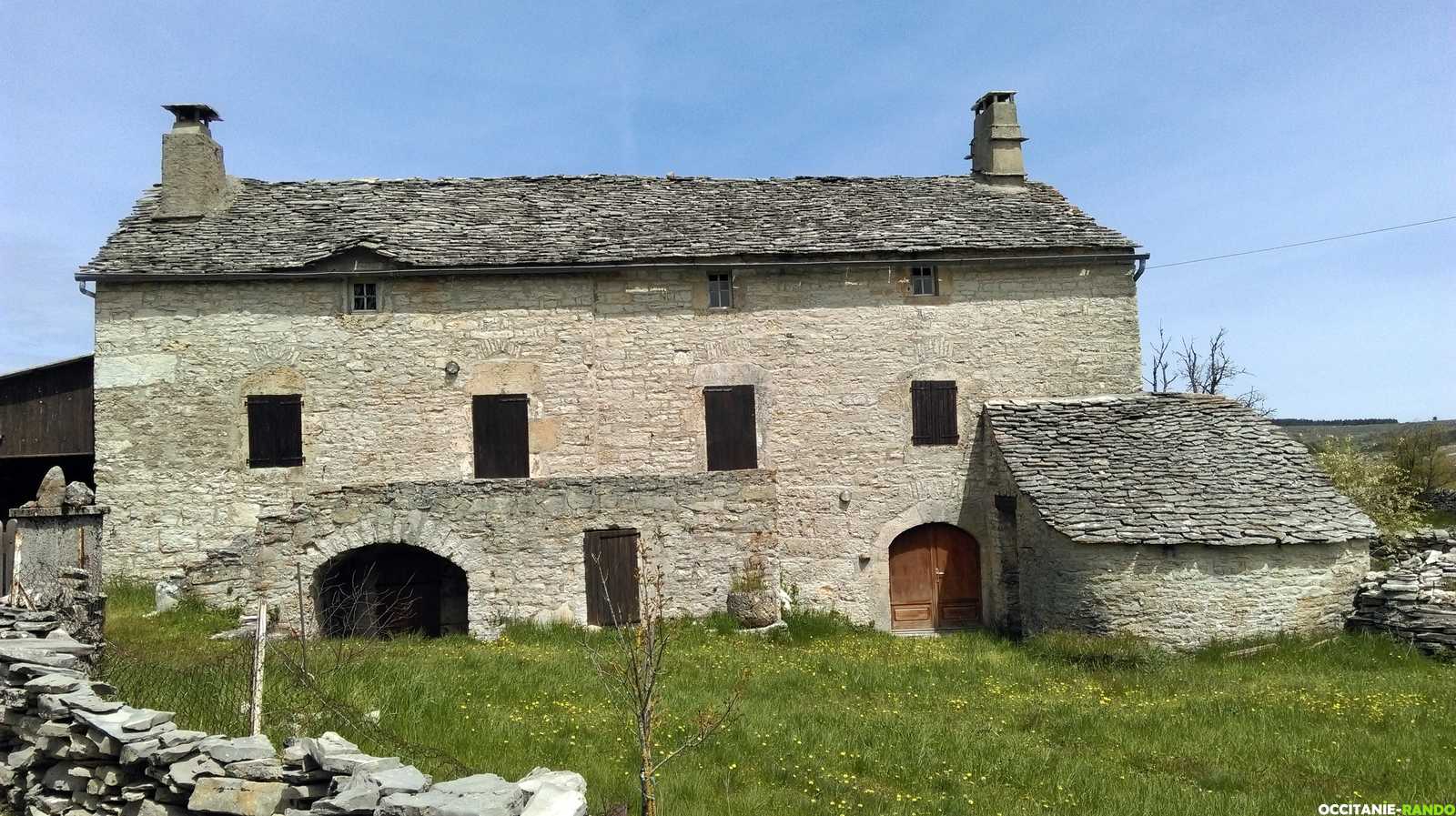
Along the way, you’ll also discover charming towns and villages: Le Bessat, Devesset, Saint-Bonnet-le-Froid, Les Estables, Le Bleymard, Barre-des-Cévennes, Lodève, Lamalou-les-Bains, Mazamet, and more.
Upon reaching Castelnaudary, over 100 kilometers still await, including some of the most beautiful sections through the Catalan Pyrenees Regional Nature Park and the Cathar Country, before arriving in Andorra, the final destination of the GR® 7 — an unforgettable long-distance hike from the Vosges to the Pyrenees.
Source: www.mongr.fr – GR® 7: long-distance hiking trail from the Vosges to the Pyrenees
Le GR®7
The GR® 7, a long-distance hiking trail spanning 1,537 kilometers, crosses France from the Ballon d’Alsace to Andorra, passing through 4 regions, 18 departments, several natural parks, and many remarkable sites.
Want to learn more about the GR® 7?
Wikipedia: fr.wikipedia.org
Topoguide: The Saint-Guilhem-le-Désert Trail (Lozère, Aveyron, Gard, and Hérault)
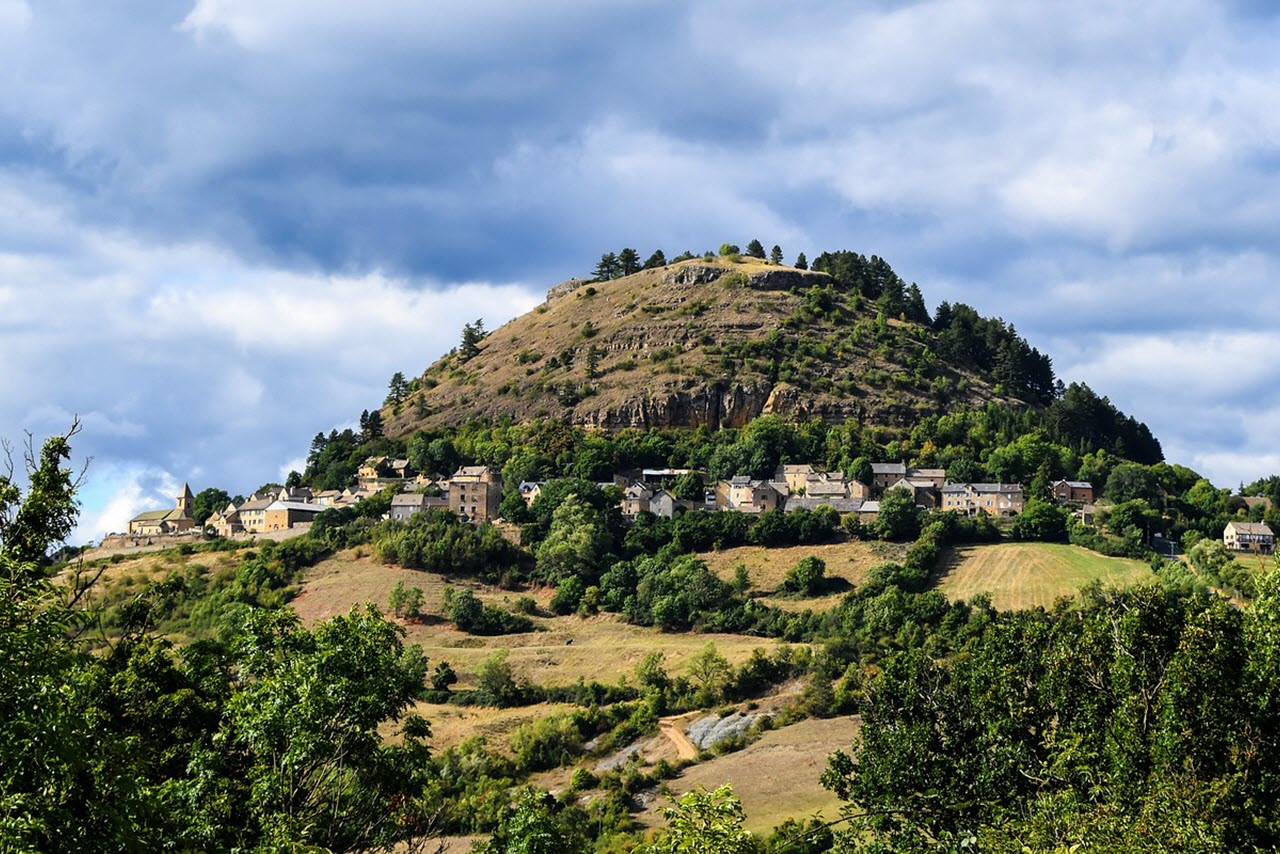

GR® de Pays – Tour of the Viganais region
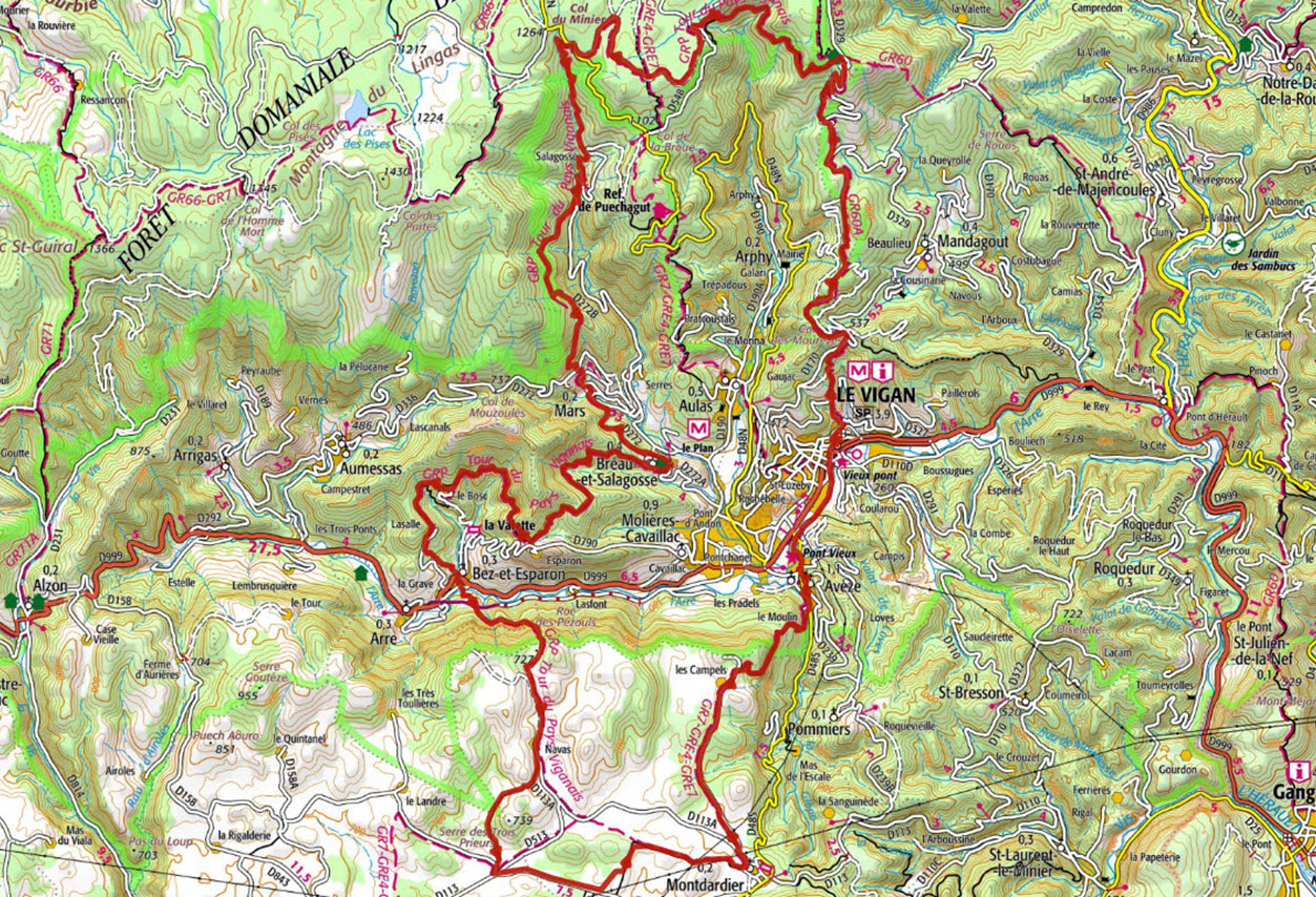

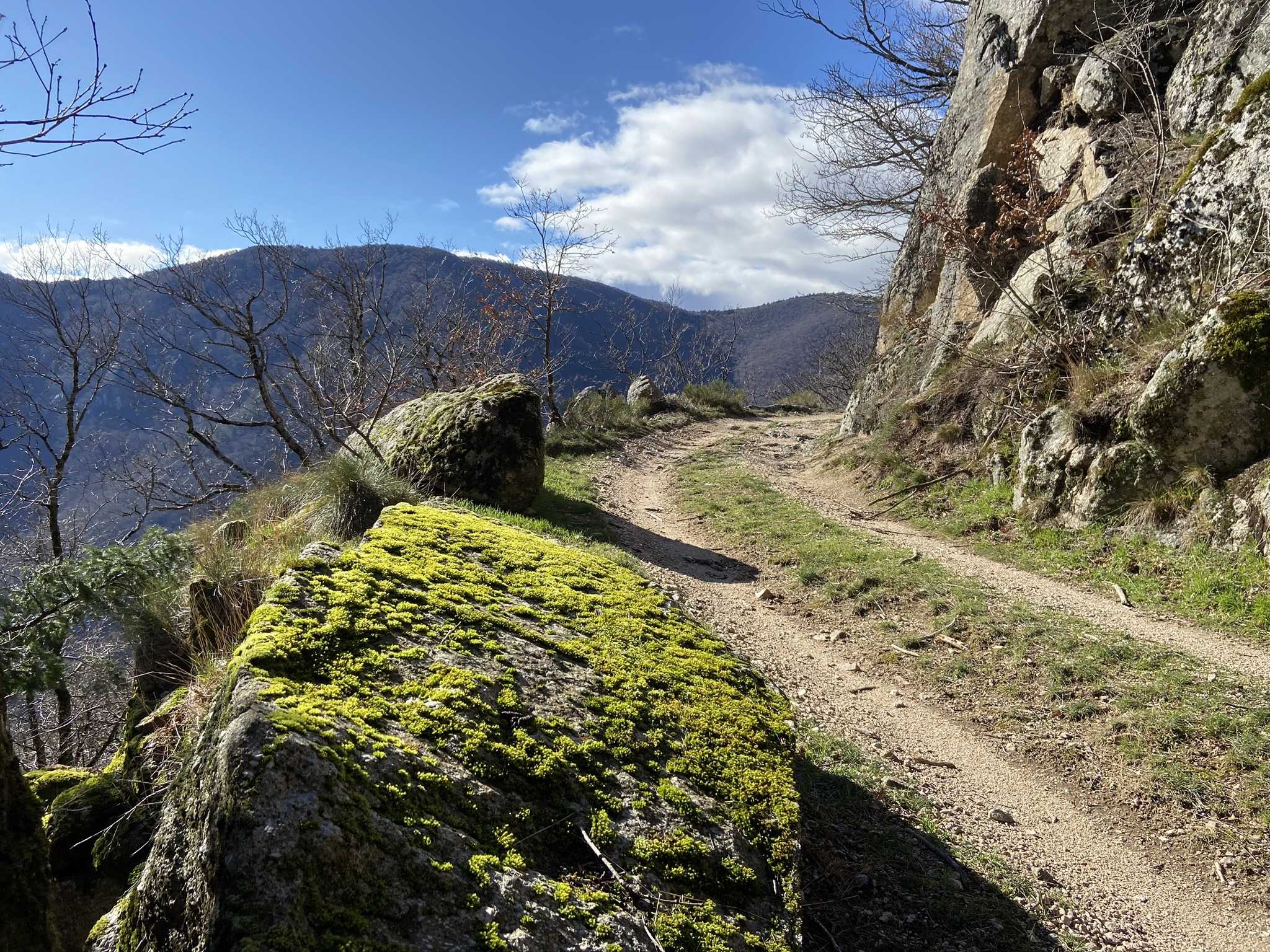
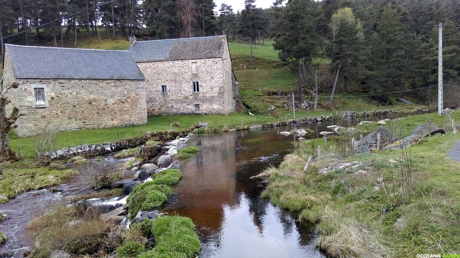
With its 60 kilometers and 2,800 meters of elevation gain, the GR® de Pays – Tour of the Viganais region is a major hiking route that showcases the many different faces of the Viganais area. Along the way, hikers will discover a wide variety of landscapes, rock formations, vegetation, and breathtaking panoramas in this exceptional environment on the edge of the Cévennes National Park.
Starting from Le Vigan, the trail sets the tone with a climb of nearly 1,000 meters over just a few kilometers, leading to the Cap de Côte gîte, from where a beautiful path takes you to the impressive Orgon Waterfalls.
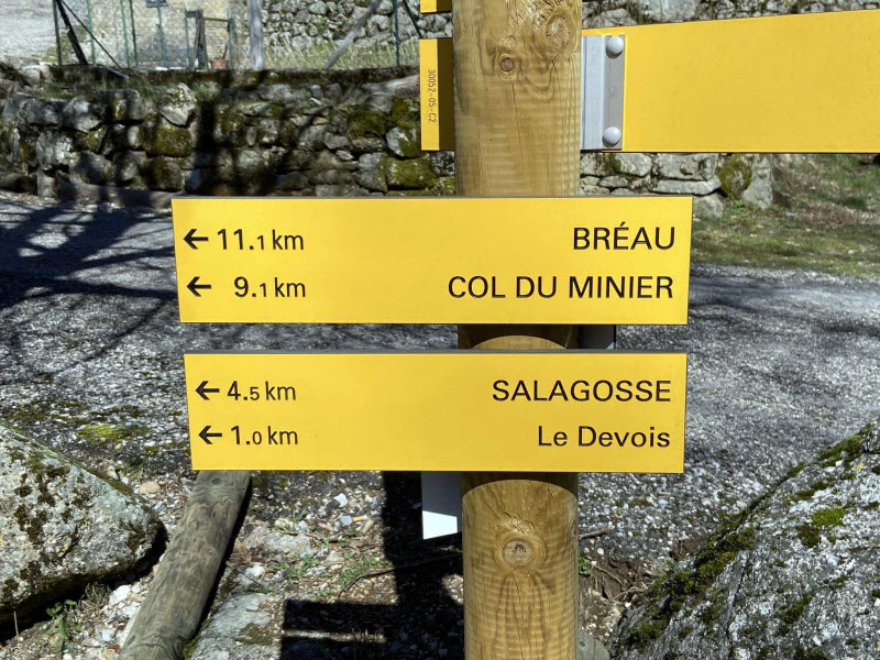
The Montals plateau trail then offers a chance to stretch your stride all the way to the Col du Minier, followed by a dizzying descent to the remote hamlet of Salagosse.
Then come the villages: Mars, Bréau, the hamlets of Esparon, then Lasalle, and finally Bez, where the Arre River is crossed before the trail climbs up to the Causse de Blandas, with landscapes that are strikingly different from the mountains and valleys of the first part of the circuit!
After passing the hamlet of Navas and the outskirts of Montdardier, a 3-kilometer section of road leads to a steep descent toward Avèze and a beautiful riverside path that brings you back to the starting point.
Want to learn more about the GR® de Pays?
Route map of the GRP: GR® de Pays – Tour of the Viganais region
Le chemin de Saint-Guilhem-le-Désert
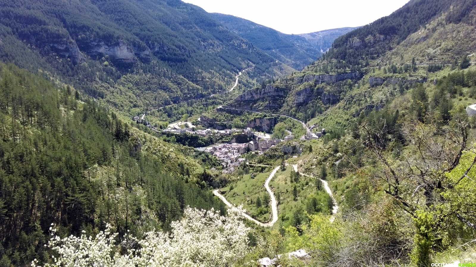
The Saint-Guilhem Trail crosses vast natural landscapes linking the Lozère department in the north to Hérault in the south. This ancient route branches off from the Via Podiensis of the Camino de Santiago (the Le Puy-en-Velay route) near the town of Aubrac, and reaches the Tarn Gorges at Sainte-Énimie, passing through Nasbinals, La Canourgue, and the Causse de Sauveterre.
From there, it crosses the Causse Méjean, reaches Meyrueis, then climbs to the Mont Aigoual massif (summit: 1,567 m), before descending toward Le Vigan. The trail then passes through the Cirque de Navacelles and climbs onto the Larzac plateau to arrive at Saint-Guilhem-le-Désert, via the Val du Verdus and Notre-Dame-de-Lieu-Plaisant.
(Source: www.chemin-st-guilhem.fr)
Want to learn more about the Saint-Guilhem Trail?
Topoguide “Le chemin de Saint-Guilhem-le-Désert” – boutique.ffrandonnee.fr

Introduction to PR Trails
With over 450 km of trails and around thirty PR hiking routes (Promenade & Randonnée – short-distance hikes), walking is one of the major tourist attractions in the Viganais region.
You can find a selection of these hiking routes on the website of the Cévennes and Navacelles Tourist Office:
www.tourismecevennesnavacelles.com
Want to learn more about PR hiking trails?
Topoguide “La grande traversée du Gard” – boutique.ffrandonnee.fr
Topoguide “Le Gard à pied” – boutique.ffrandonnee.fr
Hiking trails – Visorando – visorando.com
Hiking trails – Cévennes Trail – ceventrail.org
Hiking trails – Occitanie-Rando – occitanie-rando.fr